Footprint Module
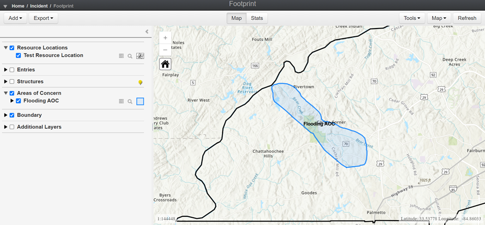
The Footprint module allows users to create and manage Areas of Concern (AOC). An AOC is a selection of structures relevant to the selected incident. You can add an AOC by manually drawing it, uploading a shapefile, or uploading a GeoJSON file. If you have the All Hazards Emergency Management product, you can also create and manage Resource Locations on this page.
The Footprint module includes a map of your region and a dashboard of tools used to manipulate the map. For more information, see Using the Footprint Map.
To access the Footprint module
-
Log into the Crisis Track Console.
-
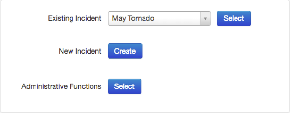
Choose an incident next to Existing Incident and click Select.

-
Click the Footprint icon.

The Footprint module can be viewed either as a map or by stats. The map view is the default view.
-
The Map view displays the map for creating areas of concern. It is also the view for uploading AOC and location files, adding resource and preconfigured locations, and exporting AOCs.

For more information about using the map, refer to Using the Footprint Map and Using the Footprint Map Tools.
-
The Stats view displays the statistics for all areas of concern shown on the map, including the number of structures affected, structural value, number of completed entries, damage amount, and area affected in square miles. The Stats view shows this information grouped by AOC.
