Maps
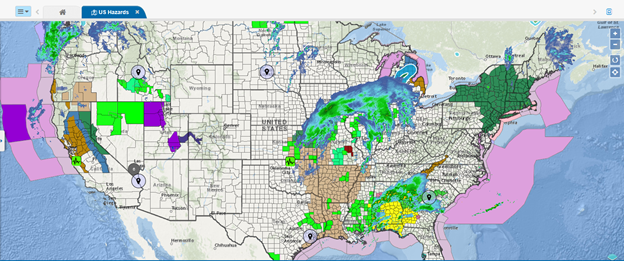
The Maps add-on expands on the capabilities of the integrated Maps included as part of WebEOC Nexus, providing both its users and administrators with customization options and an array of advanced tools and features. With a modern user interface backed by JavaScript technology, this licensed add-on offers powerful new capabilities and broader device support than previous WebEOC Nexus mapping solutions. Maps add-on supports using map layers, the creation of multiple maps, the use of custom icons, and more! Unlike with the integrated Maps, Maps add-on allows the management of maps using any number of external data sources so that administrators can control map layers, live feeds, and map services in support of custom map generation.
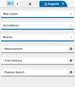
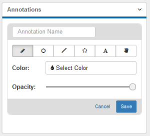
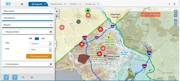
Users are also afforded more control with Maps add-on, having the ability to leverage several useful tools included with the licensed add-on that help them navigate maps and create a common operating picture. For example, the Find My Location tool pinpoints your location on the map, which allows you to see your location relative to map data. The Find Address tool lets you click a point on the map to instantly learn its address and access its coordinates in various formats. You can even measure distances between points or the size of an area, add annotations, and print a display of a map that shows geocoded points.
For more details about this plug-in, watch the Maps Add-onTraining Video ![]() .
.
Key Features
-
Quickly and easily view and edit board point, line, circle, or polygon data from the map.
-
Customize map pop-ups using assigned WebEOC Nexus display views.
-
Use the side navigation menu legend to enhance your understanding of map features.
-
Enable the side navigation menu for embedded maps.
-
Add, edit, and remove map layers, services and live feeds to optimize map viewing.
-
Preview a map layer while adding or editing it.
-
Quickly pinpoint your location on the map using the Find My Location tool.
-
Use custom geocoding services, to include Esri secure geocoding, for enhanced address location.
-
Manage annotation permissions to control access to viewing and editing annotations.
-
Add, edit, and view annotations on a map.
-
Use a library of provided map icons or upload your own custom icons.
-
Click points on the map to instantly find addresses and various coordinates.
-
Print a view of a map that shows geocoded points.
-
Make the most of optimized map features on your mobile device.
-
Benefit from the same internationalized support seen in your primary WebEOC Nexus instance.
Compatibility
Optional licensed add-on for WebEOC Nexus.
Screenshots


