Map Layers Module
Administrators can create preconfigured map layers from third-party map services. These layers can then be added to the maps in Crisis Track modules.
Preconfigured map layers make it easier to add a specific map layer to incidents. You can add preconfigured map layers when you create a new incident, or you can add them to an existing incident through the Info module. In both cases, the map layer appears in the maps in the Operations View, Footprint, Entries, and Tasks modules and the mobile app.
For more information about map layers, see Map Layers.
Crisis Track includes FEMA's National Flood Hazard Layer (NFHL) as a preconfigured map layer with the initial installation. For more information about this layer, see FEMA's documentation on their website.
To access the Map Layers module
-
Log into the Crisis Track Console.
-
Click Administrative Functions. The Administrative Functions homepage opens.

-
Click the Map Layers icon. The Map Layers module opens.

In the Map Layers module, a table displays information about each preconfigured map layer.
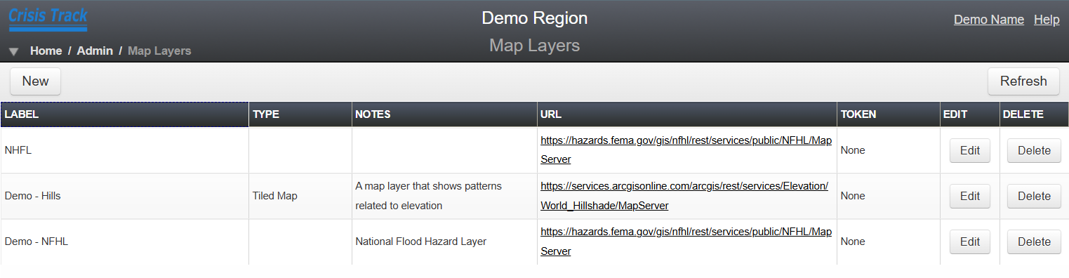
The Token column displays one of the following token statuses for each map service.
Token statuses and descriptions Status Description None
A token is not required
Set
A valid token was entered and has not expired
Invalid
The token expired or is otherwise invalid