Draw a Task Area
In the Task Details task map, you can draw a task area and assign structures (both are optional). A task area is the area where the tasks are located and within which the entries, structures, and tracks on the map are displayed.
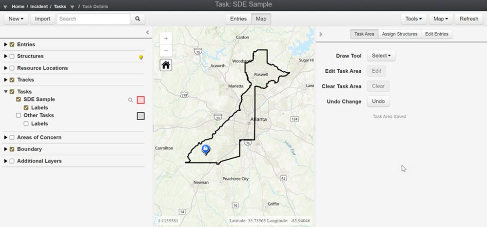
To draw a task area
-
To draw a task area, zoom into the desired task area and select a Draw Tool from the list.
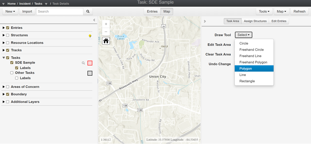
-
Begin drawing your task area by pressing a point on the map and tracing the area. Double-click to save the area. If necessary, you can edit the task area using Edit Task Area or clear the area using Clear Task Area and redrawing. Once you're satisfied with the task area you've drawn, the task area will automatically save.
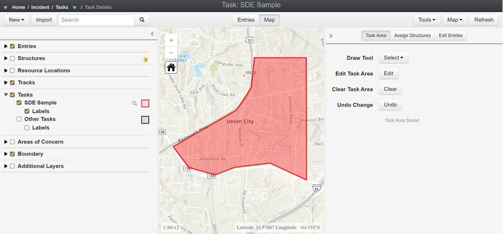
-
Crisis Track also provides the option of assigning structures (properties that need to be assessed or receive follow up) to a task. If you would like to assign structures to your task, please view our article Assign Structures to a Task.
To set a task area from a map layer
Instead of drawing a task area by hand, you can set it directly from a polygon or polyline feature on a map layer. For example, if a layer shows the outline of a flood or fire, Crisis Track uses that shape to set the task area for you.
-
Add the external layer you want to use as a source. See Manage Map Layers for details. The layer must be a Feature Layer, WFS Layer, or Map Image Layer with sub-layers.
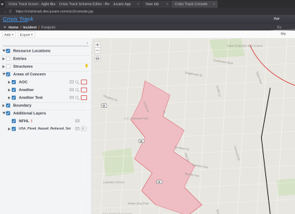
-
In the left pane, under Additional Layers, select the layer, and then click the Query this layer icon.
-
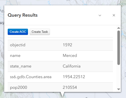
Select the polygon or polyline shape on the layer that you want to use as the task area. The Query Results window displays.
-
Click Create Task.
-
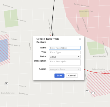
In the Create Task from Feature window, enter a Name and Type for the task. Status defaults to Active. Enter a Description, and optionally select Assign to Team to assign the task to a team.
-
Click Save. Crisis Track creates the task using the exact geometry of the layer feature you selected.
Only polygon and polyline features can be used to set a task area this way. Point features aren't supported.
Related Concepts