Crisis Track 4.12 Release Notes
These notes describe updates in the Crisis Track 4.12 release for the desktop application scheduled on Tuesday, September 15, 2026. More information is available in this help center or by contacting The internal and external people that participate in, might be affected by, or need to be notified about an incident. the Juvare Support Center at +1 (877) 771-0911 or support@juvare.com.
New Feature
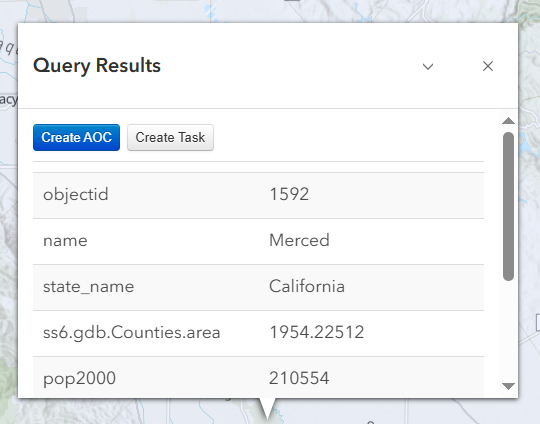
Generate Task and AOC Boundaries from a GIS Layer
You can now generate Task or Area of Concern AOC A mapped area containing structures relevant to a selected Crisis Track incident. An AOC can be drawn manually or created by uploading a Shapefile or GeoJSON file.C) boundaries directly from a GIS map layer instead of drawing them by hand. If a layer shows the outline of a flood, fire, or other event, Crisis Track uses that shape to create the Task or AOC boundary for you. See Create a Task or Create an AOC from a GIS Layer for details.
Add Task Areas to Existing Tasks
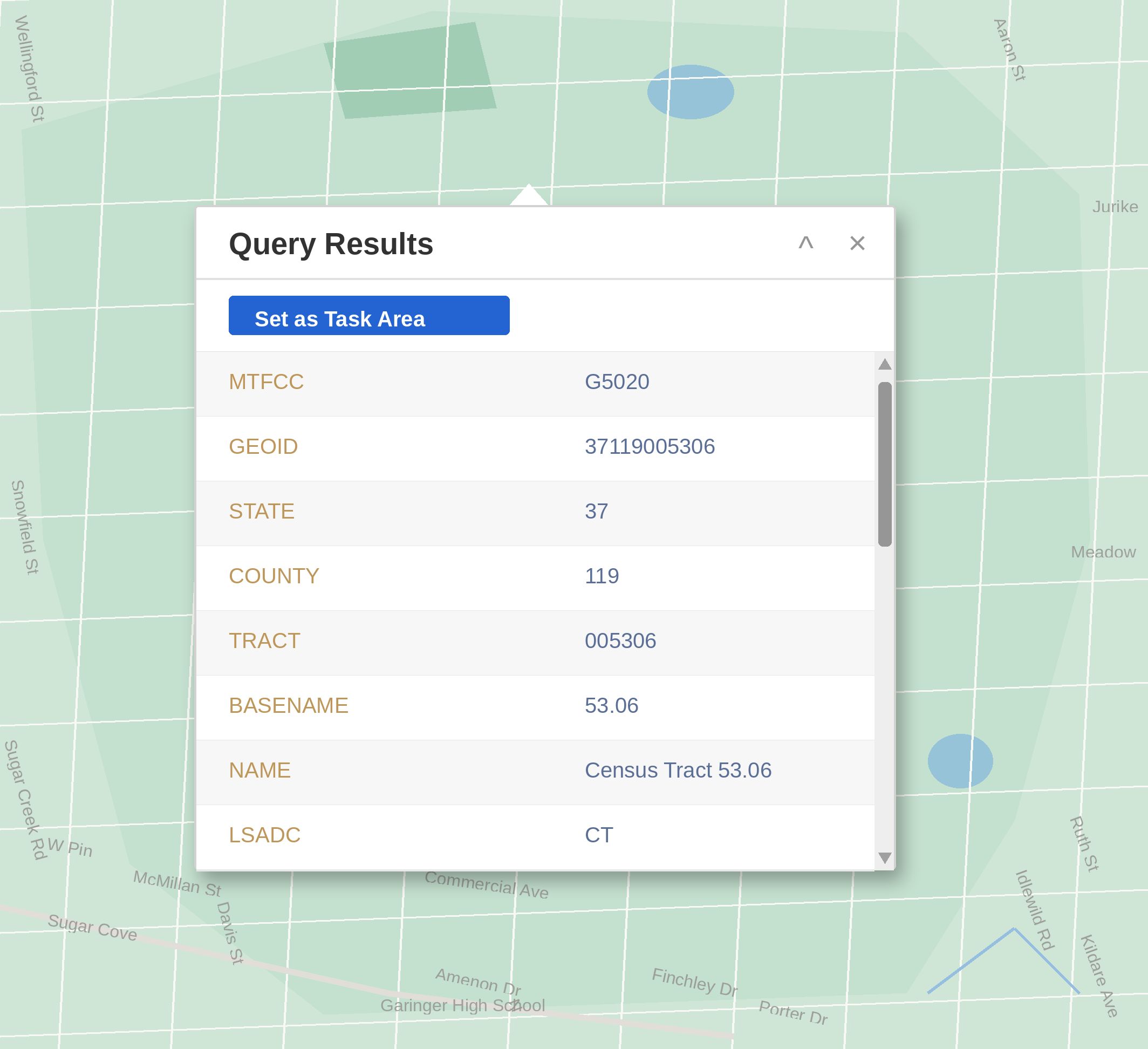
You can now set an existing task's area directly from a queried map layer. From the task's map, query a polygon on a supported layer and click Set as Task Area to apply that shape as the task's area. The area saves automatically. See Manage Tasks for more information.
Enhancements
-
You can now view Public Assistance costs over time through the different stages of validation in the IDA/PDA/JPDA cost table, when configured.
-
Improved performance when downloading Structure data.
-
The FEMA Cost Codes window is now easier to view and use, with a larger, more readable layout.
-
FEMA equipment cost codes have been updated to reflect the most current rates.
-
Equipment and Employee exports have been enhanced to respect filters applied in Crisis Track prior to exporting.
-
Improved the layout of the Interfaces module to better display long map layer URLs.
Help Updates
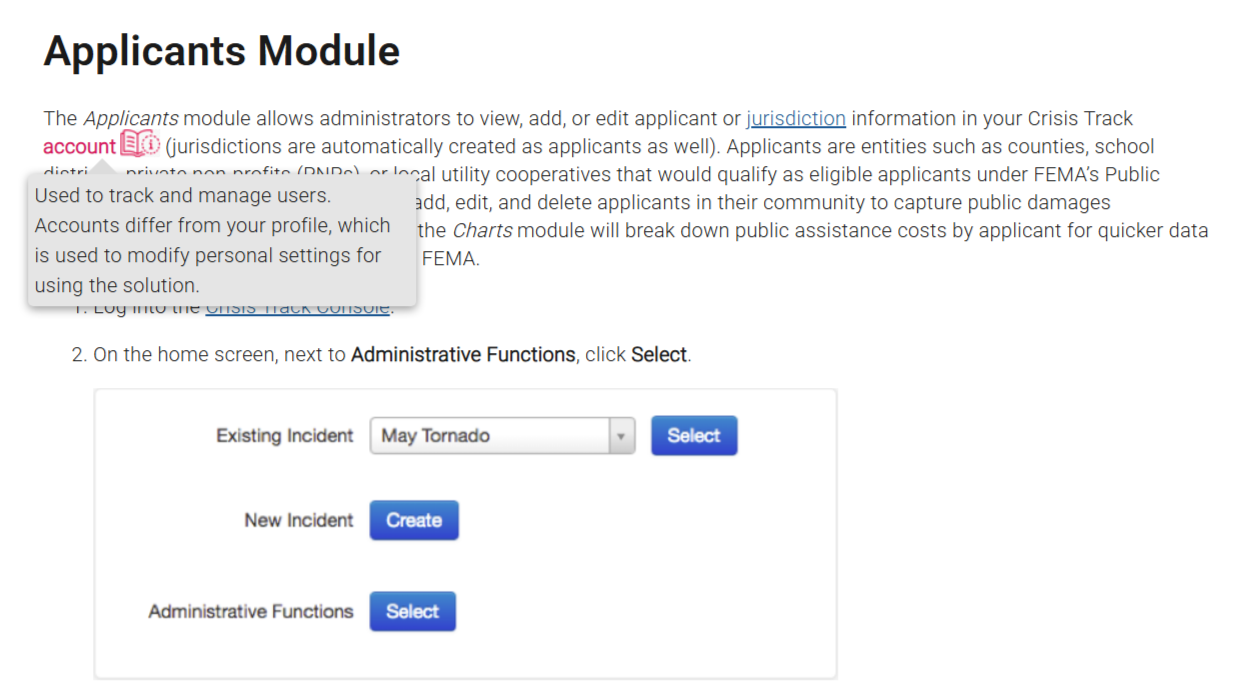
The Crisis Track Help Center now includes in-page glossary terms. Hover over these terms to view a pop-up definition. We welcome your thoughts on this new Help feature; to provide feedback, click the Help Center feedback button  on any page to generate an email to the Documentation team.
Resolutions
-
Resolved an issue where creating an entry from a structure on the map did not carry over all of the structure's saved details into custom forms.
-
Resolved an issue where viewing Entries without a task caused an error.
-
Resolved an issue where map layers added through the Info module did not appear as Additional Layers options on other views, such as the Operations View.
-
Resolved an issue where administrators without payroll permissions could view and edit payroll information, including hourly rates, on an employee's account
Used to track and manage users. Accounts differ from your profile, which is used to modify personal settings for using the solution.. -
Resolved an issue where exporting data from a jurisdiction included unrelated records outside that jurisdiction.
Previous Versions
Release notes for previous versions are available here.